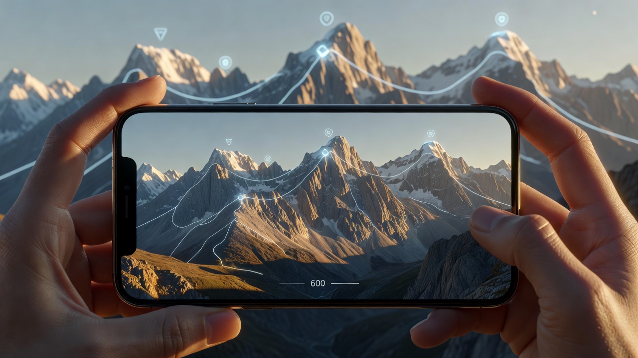
Traditional maps require mental translation: you must look at a flat piece of paper or a 2D screen, interpret contour lines, and then project that understanding onto the physical landscape in front of you. PeakVisor bypasses this cognitive load entirely by utilizing massive 3D models and Augmented Reality (AR).
Augmented Reality Identification
The flagship feature of PeakVisor is its AR camera. By lifting your phone and pointing it at a horizon, the app superimposes digital tags over physical mountains. It identifies peaks, ridges, passes, and high-altitude lakes, displaying their names and exact elevations in real-time. This is achieved by combining your device's GPS, compass, and gyroscope with a highly detailed, downloaded elevation model.
Beyond simply satisfying curiosity ("What mountain is that?"), this serves as a critical orientation tool. If you lose the trail in an alpine environment, establishing your exact position relative to identifiable peaks is the fastest way to reorient yourself on a map.
Immersive 3D Maps
PeakVisor’s mapping interface is entirely three-dimensional. Unlike the flat topographic maps of other platforms, zooming into PeakVisor reveals a textured 3D landscape. This is immensely beneficial for visualizing the severity of terrain. A steep ravine or an impassable cliff face is immediately obvious in a 3D model, whereas it might be missed by an untrained eye reading contour lines on a 2D map.
Winter Sports Integration
The application has heavily expanded into the winter sports market. The 3D maps include thousands of ski resort boundaries, ski lifts, and categorized runs. For backcountry skiers, the ability to visualize slope steepness in three dimensions, combined with sun-tracking overlays, aids significantly in assessing avalanche risk and identifying safe descent routes.
| Feature Highlight | Use Case |
|---|---|
| AR Panorama | Identifying surrounding geography and confirming location visually. |
| 3D Terrain Map | Planning alpine routes by visualizing actual topography, not just lines. |
| Sun Trajectory | Tracking shadow lines for photography and assessing snowpack safety. |
Offline Capabilities
Given the heavy processing required for 3D modeling, PeakVisor relies heavily on downloading regional data packages before you leave cell service. The free version requires an active connection, which renders it impractical for deep wilderness use. Upgrading to PeakVisor Pro allows you to download massive geographic areas for seamless, lightning-fast AR processing offline.
Final Verdict
PeakVisor represents the future of environmental interaction. It does not replace the raw logistical data of an app like Gaia GPS, but it is the ultimate companion tool. For mountaineers, backcountry skiers, and anyone who struggles to translate 2D maps into 3D landscapes, PeakVisor is a revelation in situational awareness.