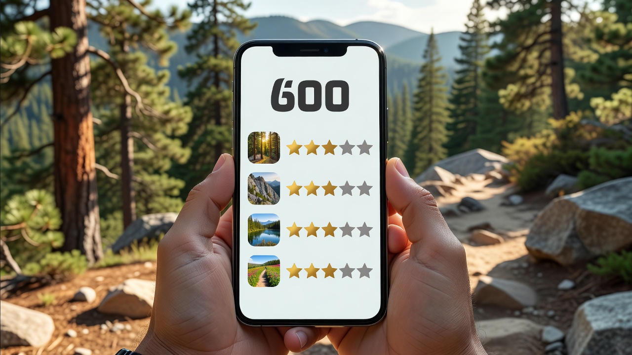
While technical applications focus on map layers and grid references, AllTrails has captured a massive global audience by focusing on a different problem: simply finding a good place to hike. It functions primarily as a search engine and social review platform for trails worldwide.
The Power of Curated Data
The defining strength of AllTrails is its database structure. Rather than presenting a blank topographic map and expecting the user to draw a route, the app provides pre-packaged trail guides. Each listing includes an expected duration, elevation gain profile, difficulty rating, and most importantly, recent user reviews.
This community-driven approach solves one of the most persistent problems in outdoor recreation: current conditions. Topographic maps do not inform you if a bridge washed out yesterday, or if the trail is currently covered in deep mud. The review section of AllTrails acts as a real-time condition report powered by thousands of daily users.
Search and Filtering Mechanics
The search interface is highly refined for recreational users. You can filter trails by numerous practical variables:
- Suitability: Dog-friendly, kid-friendly, wheelchair accessible.
- Attractions: Waterfalls, viewpoints, wildflowers, historical sites.
- Metrics: Hard limits on distance, elevation gain, and route type (loop, out-and-back, point-to-point).
Navigation and Premium Features
Once on the trail, the navigation interface is minimalist. It shows your GPS dot relative to the predefined red trail line. If you deviate from the path, the app issues a "Wrong Turn" alert, which is highly effective for preventing casual hikers from becoming lost at poorly marked junctions.
The premium tier, AllTrails+, is required for downloading these maps for offline use. Given that cell reception is notoriously unreliable even on popular front-country trails, upgrading to the plus tier is strongly recommended for safety. The premium version also unlocks 3D mapping features, allowing you to visualize the steepness of a hike before committing to it.
| Feature Highlight | Core Benefit |
|---|---|
| Recent Reviews | Understand current weather impacts and trail closures. |
| Wrong Turn Alerts | Immediate notification via vibration/sound if you leave the path. |
| 3D Flyovers (Premium) | Visualizing extreme elevation changes prior to departure. |
Final Verdict
AllTrails is not designed for expedition-level route planning across pathless terrain. However, for 95% of recreational hikers looking for a Saturday morning excursion, it is unmatched. The combination of comprehensive filtering, reliable offline routing (on the paid tier), and invaluable community feedback makes it the most user-friendly discovery tool on the market.