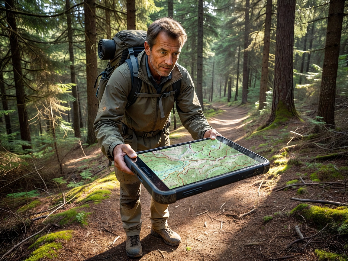
Gaia GPS
The industry benchmark for custom layering and deep backcountry exploration. Renowned for its NatGeo topographic layers and robust waypoint management.
Read Full AnalysisWe break down the top 5 applications for routing, tracking, and exploring the backcountry. Swiss precision data meets rugged outdoor reliability.
The industry benchmark for custom layering and deep backcountry exploration. Renowned for its NatGeo topographic layers and robust waypoint management.
Read Full Analysis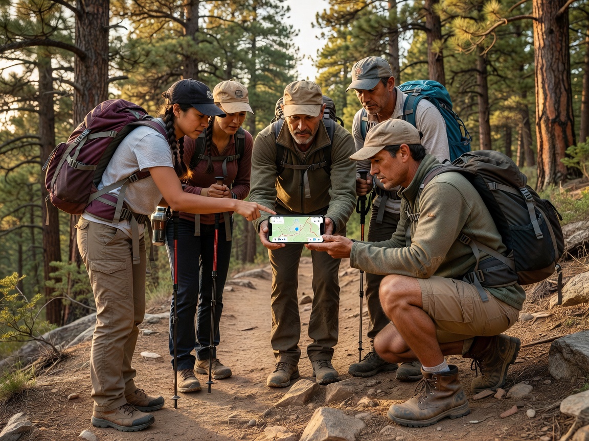
The largest repository of curated trail guides globally. Unmatched for weekend hikers looking for verified recent conditions and community photos.
Read Full Analysis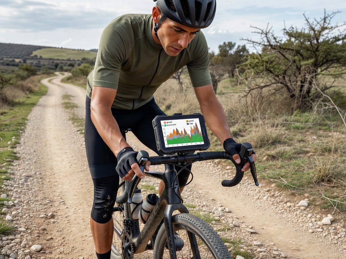
Unrivalled surface-type algorithms make this the paramount choice for bikepackers and trail runners needing precise terrain expectations.
Read Full Analysis
While known for fitness tracking, its global heatmap and route builder are indispensable tools for discovering where people actually travel in the wild.
Read Full Analysis
An innovative tool utilizing your camera and massive 3D models to identify surrounding peaks, visualize elevation, and plan off-piste descents.
Read Full Analysis